The junction of Widow's Row and the A2 (Kilkeel Road)
Introduction
The photograph on this page of The junction of Widow's Row and the A2 (Kilkeel Road) by Eric Jones as part of the Geograph project.
The Geograph project started in 2005 with the aim of publishing, organising and preserving representative images for every square kilometre of Great Britain, Ireland and the Isle of Man.

There are currently over 7.5m images from over 14,400 individuals and you can help contribute to the project by visiting https://www.geograph.org.uk
The junction of Widow's Row and the A2 (Kilkeel Road)
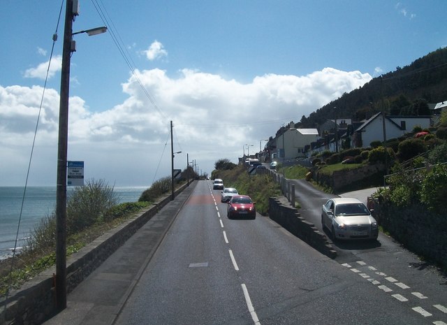
Image: © Eric Jones Taken: 2 May 2016
Widow's Row is a terrace of cottages built to house the widows of fishermen lost in a sudden devastating gale in Dundrum Bay on Friday the 13th of January 1843. http://www.newcastle-county-down.com/place/widows-row/
Images are licensed for reuse under creativecommons.org/licenses/by-sa/2.0
Image Location
Latitude
54.195325
Longitude
-5.883871