The A2 (Main Street), Newcastle, at its junction with Bryansford Avenue
Introduction
The photograph on this page of The A2 (Main Street), Newcastle, at its junction with Bryansford Avenue by Eric Jones as part of the Geograph project.
The Geograph project started in 2005 with the aim of publishing, organising and preserving representative images for every square kilometre of Great Britain, Ireland and the Isle of Man.

There are currently over 7.5m images from over 14,400 individuals and you can help contribute to the project by visiting https://www.geograph.org.uk
The A2 (Main Street), Newcastle, at its junction with Bryansford Avenue
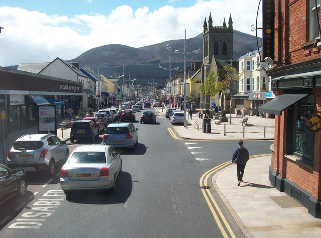
Image: © Eric Jones Taken: 2 May 2016
The church on the right is that of the Newcastle Presbyterian community. The present church built of Scrabo stone dates from 1909 and was paid for by Mrs Murray of the Belfast-based Erinmore tobacco firm.
Images are licensed for reuse under creativecommons.org/licenses/by-sa/2.0
Image Location
Latitude
54.213828
Longitude
-5.888597