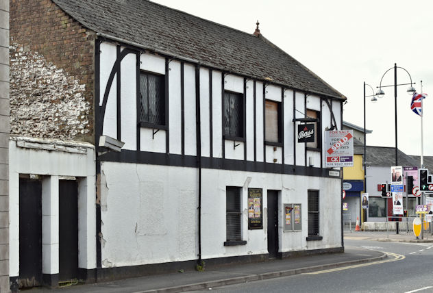
Former "Tavern Bar", Portadown (May 2016)
Introduction
The photograph on this page of Former "Tavern Bar", Portadown (May 2016) by Albert Bridge as part of the Geograph project.
The Geograph project started in 2005 with the aim of publishing, organising and preserving representative images for every square kilometre of Great Britain, Ireland and the Isle of Man.
There are currently over 7.5m images from over 14,400 individuals and you can help contribute to the project by visiting https://www.geograph.org.uk

Image: © Albert Bridge Taken: 5 May 2016
See Image (1986). The former “Tavern Bar” at the apex of Bridge Street (foreground) and the Carrickblacker Road. There is a “sold” patch on the “for sale” sign. The following description was included in the agents’ auction brochure (which included many other properties) “The property is a former licensed premises previously known as “The Tavern Bar” comprising of a two-storey end-terrace building with a single-storey flat roof extension to the side of the property. . . . . . . Note: We are advised that the property does not benefit from an intoxicating liquor licence.”

