The Wheel at Worfield
Introduction
The photograph on this page of The Wheel at Worfield by Alan Murray-Rust as part of the Geograph project.
The Geograph project started in 2005 with the aim of publishing, organising and preserving representative images for every square kilometre of Great Britain, Ireland and the Isle of Man.

There are currently over 7.5m images from over 14,400 individuals and you can help contribute to the project by visiting https://www.geograph.org.uk
The Wheel at Worfield
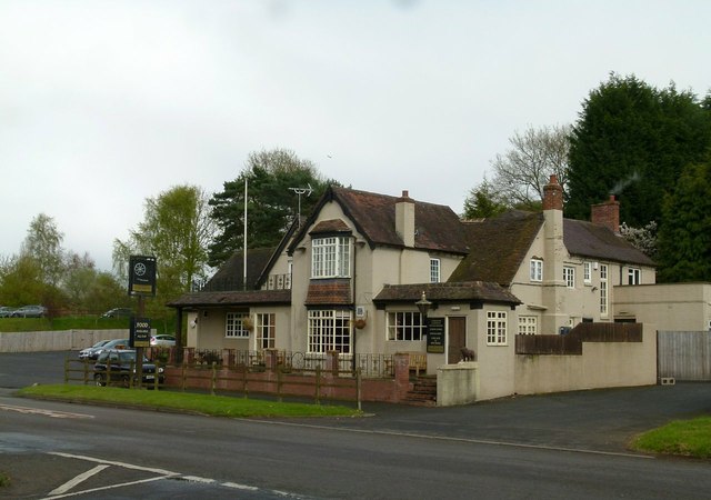
Image: © Alan Murray-Rust Taken: 27 Apr 2016
Much rebuilt to become a typical inter-war roadside pub on the A454 between Bridgnorth and Wolverhampton, there has been a pub of this name here since at least the 1880s.
Images are licensed for reuse under creativecommons.org/licenses/by-sa/2.0
Image Location
Latitude
52.554034
Longitude
-2.349653