The River Mersey and Manchester Ship Canal
Introduction
The photograph on this page of The River Mersey and Manchester Ship Canal by M J Richardson as part of the Geograph project.
The Geograph project started in 2005 with the aim of publishing, organising and preserving representative images for every square kilometre of Great Britain, Ireland and the Isle of Man.

There are currently over 7.5m images from over 14,400 individuals and you can help contribute to the project by visiting https://www.geograph.org.uk
The River Mersey and Manchester Ship Canal
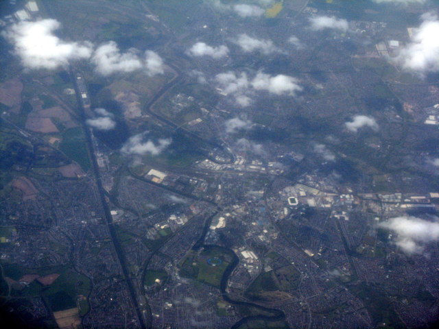
Image: © M J Richardson Taken: 4 May 2016
Seen from the air, looking west, with Warrington on the right.
Images are licensed for reuse under creativecommons.org/licenses/by-sa/2.0
Image Location
Latitude
53.391994
Longitude
-2.565352