Orchard Place, London E14
Introduction
The photograph on this page of Orchard Place, London E14 by David Kemp as part of the Geograph project.
The Geograph project started in 2005 with the aim of publishing, organising and preserving representative images for every square kilometre of Great Britain, Ireland and the Isle of Man.

There are currently over 7.5m images from over 14,400 individuals and you can help contribute to the project by visiting https://www.geograph.org.uk
Orchard Place, London E14
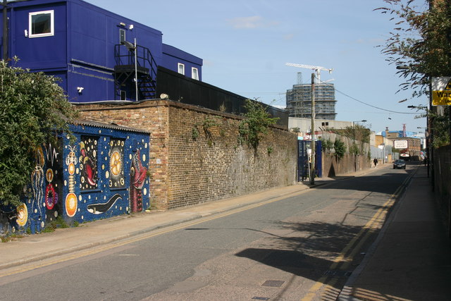
Image: © David Kemp Taken: 4 May 2016
Orchard Place (formerly Orchard Street) runs east-west along one of the two arms of the Leamouth Peninsula. Until 1936 when most of its houses were demolished, this was one of London's most deprived and undesirable areas. Thereafter both parts of the peninsula continued to be used for industry until recently. They are now being redeveloped as a high-density residential area, but some of the old character is still identifiable in this view.
Images are licensed for reuse under creativecommons.org/licenses/by-sa/2.0
Image Location
Latitude
51.508495
Longitude
0.007147