Mount Lane Bridge over the A17 near to Kirkby la Thorpe
Introduction
The photograph on this page of Mount Lane Bridge over the A17 near to Kirkby la Thorpe by David Dixon as part of the Geograph project.
The Geograph project started in 2005 with the aim of publishing, organising and preserving representative images for every square kilometre of Great Britain, Ireland and the Isle of Man.

There are currently over 7.5m images from over 14,400 individuals and you can help contribute to the project by visiting https://www.geograph.org.uk
Mount Lane Bridge over the A17 near to Kirkby la Thorpe
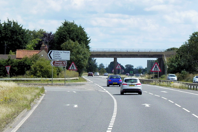
Image: © David Dixon Taken: 2 Aug 2015
This part of the A17 is towards the eastern end of the Sleaford Bypass. It is one of only four dual carriageway sections of the route and, with a length of 3 miles, it is the longest of these sections.
Images are licensed for reuse under creativecommons.org/licenses/by-sa/2.0
Image Location
Latitude
52.996275
Longitude
-0.363529