A wet walk
Introduction
The photograph on this page of A wet walk by Neil Owen as part of the Geograph project.
The Geograph project started in 2005 with the aim of publishing, organising and preserving representative images for every square kilometre of Great Britain, Ireland and the Isle of Man.

There are currently over 7.5m images from over 14,400 individuals and you can help contribute to the project by visiting https://www.geograph.org.uk
A wet walk
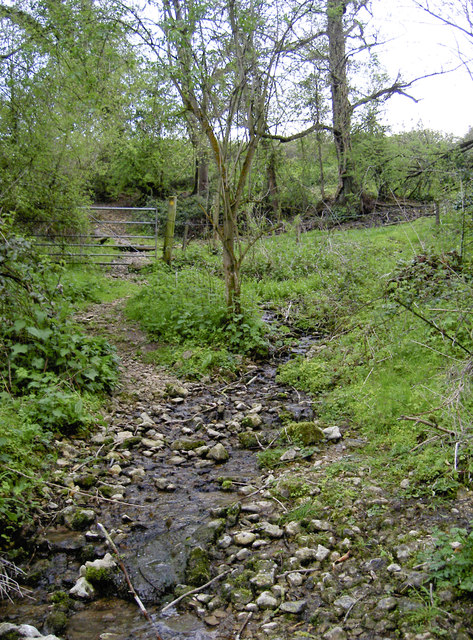
Image: © Neil Owen Taken: 5 May 2016
At least in times of heavy rainfall. The valley south of East Dundry is home to a number of springs, but today this one is a gentle trickle. The footpath pretty much follows it downhill.
Images are licensed for reuse under creativecommons.org/licenses/by-sa/2.0
Image Location
Latitude
51.391244
Longitude
-2.61493