Power lines beyond cornfield
Introduction
The photograph on this page of Power lines beyond cornfield by David C Brown as part of the Geograph project.
The Geograph project started in 2005 with the aim of publishing, organising and preserving representative images for every square kilometre of Great Britain, Ireland and the Isle of Man.

There are currently over 7.5m images from over 14,400 individuals and you can help contribute to the project by visiting https://www.geograph.org.uk
Power lines beyond cornfield
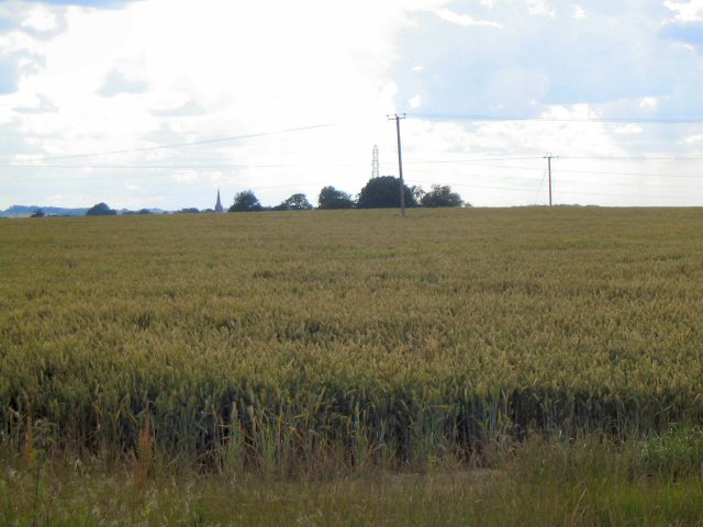
Image: © David C Brown Taken: 8 Jul 2007
Looking SSW over growing crops near Lodge Farm. The steeple of Silk Wiloughby church is visible in the distance
Images are licensed for reuse under creativecommons.org/licenses/by-sa/2.0
Image Location
Latitude
52.977604
Longitude
-0.405343