National Cycle Route signs, Portadown (May 2016)
Introduction
The photograph on this page of National Cycle Route signs, Portadown (May 2016) by Albert Bridge as part of the Geograph project.
The Geograph project started in 2005 with the aim of publishing, organising and preserving representative images for every square kilometre of Great Britain, Ireland and the Isle of Man.

There are currently over 7.5m images from over 14,400 individuals and you can help contribute to the project by visiting https://www.geograph.org.uk
National Cycle Route signs, Portadown (May 2016)
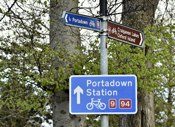
Image: © Albert Bridge Taken: 5 May 2016
National Cycle Network route (9 and 94) signs close to Bachelor’s Walk. The lower one has been turned through 180 degrees and now points in the wrong direction. The way to Portadown station is behind me.
Images are licensed for reuse under creativecommons.org/licenses/by-sa/2.0
Image Location
Latitude
54.42722
Longitude
-6.429921