Public access route going east from Imberhorne Lane
Introduction
The photograph on this page of Public access route going east from Imberhorne Lane by Shazz as part of the Geograph project.
The Geograph project started in 2005 with the aim of publishing, organising and preserving representative images for every square kilometre of Great Britain, Ireland and the Isle of Man.

There are currently over 7.5m images from over 14,400 individuals and you can help contribute to the project by visiting https://www.geograph.org.uk
Public access route going east from Imberhorne Lane
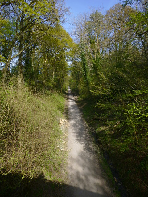
Image: © Shazz Taken: 4 May 2016
This carries the Sussex Border Path and the Worth Way.
Images are licensed for reuse under creativecommons.org/licenses/by-sa/2.0
Image Location
Latitude
51.126178
Longitude
-0.033625