Wollaton: Ringwood Crescent
Introduction
The photograph on this page of Wollaton: Ringwood Crescent by John Sutton as part of the Geograph project.
The Geograph project started in 2005 with the aim of publishing, organising and preserving representative images for every square kilometre of Great Britain, Ireland and the Isle of Man.

There are currently over 7.5m images from over 14,400 individuals and you can help contribute to the project by visiting https://www.geograph.org.uk
Wollaton: Ringwood Crescent
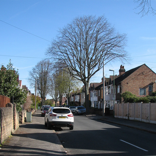
Image: © John Sutton Taken: 4 May 2016
A u-shaped crescent, part of the big post-war housing development between Wollaton and Radford.
Images are licensed for reuse under creativecommons.org/licenses/by-sa/2.0
Image Location
Latitude
52.955466
Longitude
-1.196306