Old track at Hilderstone
Introduction
The photograph on this page of Old track at Hilderstone by Ian Calderwood as part of the Geograph project.
The Geograph project started in 2005 with the aim of publishing, organising and preserving representative images for every square kilometre of Great Britain, Ireland and the Isle of Man.

There are currently over 7.5m images from over 14,400 individuals and you can help contribute to the project by visiting https://www.geograph.org.uk
Old track at Hilderstone
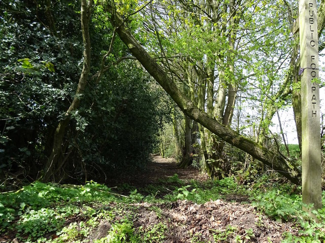
Image: © Ian Calderwood Taken: 4 May 2016
This old track appears on the 1856 Ordnance Survey map running somewhat further into the fields than it does now. What remains of it is now part of a public footpath.
Images are licensed for reuse under creativecommons.org/licenses/by-sa/2.0
Image Location


Leaflet Map data © OpenStreetMap
Latitude
52.911324
Longitude
-2.074903