Tenements in Dudley Drive
Introduction
The photograph on this page of Tenements in Dudley Drive by Jonathan Thacker as part of the Geograph project.
The Geograph project started in 2005 with the aim of publishing, organising and preserving representative images for every square kilometre of Great Britain, Ireland and the Isle of Man.

There are currently over 7.5m images from over 14,400 individuals and you can help contribute to the project by visiting https://www.geograph.org.uk
Tenements in Dudley Drive
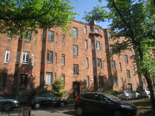
Image: © Jonathan Thacker Taken: 21 Jul 2013
These tenements were built after the bombing of 13/14th March 1941 in which a significant part of Dudley Drive was destroyed and 36 people killed.
Images are licensed for reuse under creativecommons.org/licenses/by-sa/2.0
Image Location
Latitude
55.877275
Longitude
-4.312602