Ward Grove Building Site
Introduction
The photograph on this page of Ward Grove Building Site by Gordon Griffiths as part of the Geograph project.
The Geograph project started in 2005 with the aim of publishing, organising and preserving representative images for every square kilometre of Great Britain, Ireland and the Isle of Man.

There are currently over 7.5m images from over 14,400 individuals and you can help contribute to the project by visiting https://www.geograph.org.uk
Ward Grove Building Site
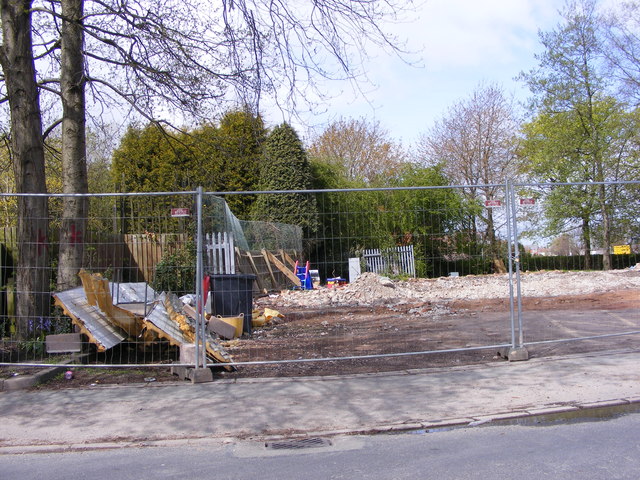
Image: © Gordon Griffiths Taken: 3 May 2016
The former Lanefield Community Centre site on the corner of Ward Grove and the Birmingham New Road. The view in 2007.Image
Images are licensed for reuse under creativecommons.org/licenses/by-sa/2.0
Image Location
Latitude
52.55702
Longitude
-2.107336