Glen Fruin road near Blairnairn
Introduction
The photograph on this page of Glen Fruin road near Blairnairn by Alan O'Dowd as part of the Geograph project.
The Geograph project started in 2005 with the aim of publishing, organising and preserving representative images for every square kilometre of Great Britain, Ireland and the Isle of Man.

There are currently over 7.5m images from over 14,400 individuals and you can help contribute to the project by visiting https://www.geograph.org.uk
Glen Fruin road near Blairnairn
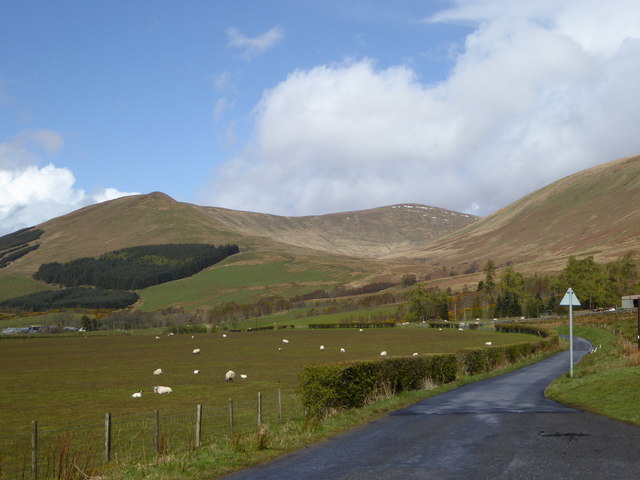
Image: © Alan O'Dowd Taken: 2 May 2016
In the background is the horseshoe of hills surrounding the Allt a' Bhaile a' Mhuillin ('stream of the mill town'), with the small pointed top of Auchengaich Hill curving round to Beinn Tharsuinn ('crosswise/transverse hill').
Images are licensed for reuse under creativecommons.org/licenses/by-sa/2.0
Image Location
Latitude
56.053982
Longitude
-4.733709