A ditch and sluice gate on Stodmarsh National Nature Reserve
Introduction
The photograph on this page of A ditch and sluice gate on Stodmarsh National Nature Reserve by Marathon as part of the Geograph project.
The Geograph project started in 2005 with the aim of publishing, organising and preserving representative images for every square kilometre of Great Britain, Ireland and the Isle of Man.

There are currently over 7.5m images from over 14,400 individuals and you can help contribute to the project by visiting https://www.geograph.org.uk
A ditch and sluice gate on Stodmarsh National Nature Reserve
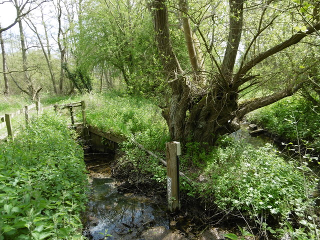
Image: © Marathon Taken: 1 May 2016
The earliest recorded use of the land which now makes up the National Nature Reserve of Stodmarsh was by Augustinian monks during medieval times. The monks dug ditches to bring the mineral-rich river floodwater onto the meadows to flood them and make the grass more productive. The marsh was used for grazing mares in foal and at this time was known as Stud-marsh. In the early 18th century a flood defence barrier, the Lampen Wall, was constructed by Flemish engineers to prevent excessive flooding in the Grove Ferry area. This more efficient drainage of the valley was reversed by the opening of Chislet Colliery at the start of the 20th century. The land subsided due to the underground working and became waterlogged. By the 1930s small lagoons had formed in the meadows. Reed beds then developed, spreading from the river banks to cover the wetter areas. The marsh was then used for wildfowling. The land was notified as a Site of Special Scientific Interest in 1951 and became a National Nature Reserve in 1968.
Images are licensed for reuse under creativecommons.org/licenses/by-sa/2.0
Image Location
Latitude
51.305592
Longitude
1.187625