Hatton Bank Lane
Introduction
The photograph on this page of Hatton Bank Lane by Bill Boaden as part of the Geograph project.
The Geograph project started in 2005 with the aim of publishing, organising and preserving representative images for every square kilometre of Great Britain, Ireland and the Isle of Man.

There are currently over 7.5m images from over 14,400 individuals and you can help contribute to the project by visiting https://www.geograph.org.uk
Hatton Bank Lane
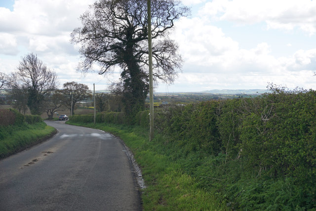
Image: © Bill Boaden Taken: 29 Apr 2016
Descending from Black Hill where there is a glimpse of Hatton Bank Farm through the foliage. There is also a distant view of the Cotswolds.
Images are licensed for reuse under creativecommons.org/licenses/by-sa/2.0
Image Location


Leaflet Map data © OpenStreetMap
Latitude
52.226813
Longitude
-1.656642