Shingle Hall Road - end of the public road
Introduction
The photograph on this page of Shingle Hall Road - end of the public road by Robin Webster as part of the Geograph project.
The Geograph project started in 2005 with the aim of publishing, organising and preserving representative images for every square kilometre of Great Britain, Ireland and the Isle of Man.

There are currently over 7.5m images from over 14,400 individuals and you can help contribute to the project by visiting https://www.geograph.org.uk
Shingle Hall Road - end of the public road
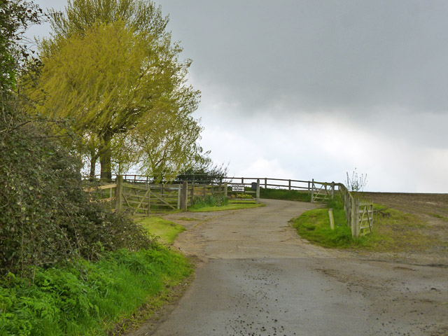
Image: © Robin Webster Taken: 30 Apr 2016
The entrance to Shingle Hall is straight on. Off to the right is a private drive to several other properties.
Images are licensed for reuse under creativecommons.org/licenses/by-sa/2.0
Image Location
Latitude
51.72823
Longitude
0.09709