Breach Close, Steyning
Introduction
The photograph on this page of Breach Close, Steyning by Simon Carey as part of the Geograph project.
The Geograph project started in 2005 with the aim of publishing, organising and preserving representative images for every square kilometre of Great Britain, Ireland and the Isle of Man.

There are currently over 7.5m images from over 14,400 individuals and you can help contribute to the project by visiting https://www.geograph.org.uk
Breach Close, Steyning
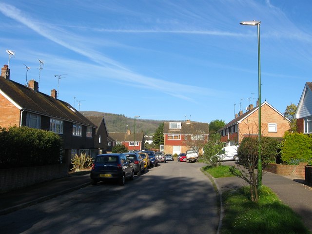
Image: © Simon Carey Taken: 1 May 2016
A cul de sac off Tanyard Lane that was built in the 1960s and named after GW Breach the firm who ran a nearby tannery from the early 19th century to its closure in 1941.
Images are licensed for reuse under creativecommons.org/licenses/by-sa/2.0
Image Location
Latitude
50.891041
Longitude
-0.330624