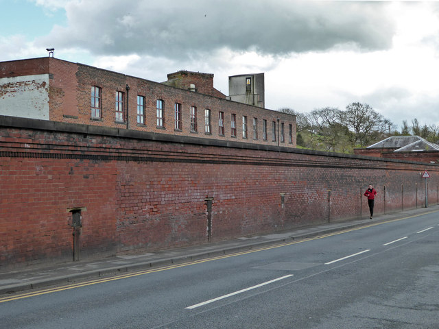
Compstall Mills
Introduction
The photograph on this page of Compstall Mills by Chris Allen as part of the Geograph project.
The Geograph project started in 2005 with the aim of publishing, organising and preserving representative images for every square kilometre of Great Britain, Ireland and the Isle of Man.
There are currently over 7.5m images from over 14,400 individuals and you can help contribute to the project by visiting https://www.geograph.org.uk

Image: © Chris Allen Taken: 30 Apr 2016
Compstall was an integrated cotton works with an adjoining mill village and dates back to at least the 1820s in the hands of the Andrews family. These buildings date from the 19th century and although the site was originally water powered steam was added later. The chimney has now gone and there has been some demolition. The water supply reservoirs and leats are now Etherow country Park. Behind the wall seen here is a north light weaving shed and the position of the rainwater heads shows the locations of the valleys. The mill is now in multiple occupancy as spinning ceased in 1926 and weaving in 1966.

