Path from Dewsbury Road to Bismarck Street
Introduction
The photograph on this page of Path from Dewsbury Road to Bismarck Street by Stephen Craven as part of the Geograph project.
The Geograph project started in 2005 with the aim of publishing, organising and preserving representative images for every square kilometre of Great Britain, Ireland and the Isle of Man.

There are currently over 7.5m images from over 14,400 individuals and you can help contribute to the project by visiting https://www.geograph.org.uk
Path from Dewsbury Road to Bismarck Street
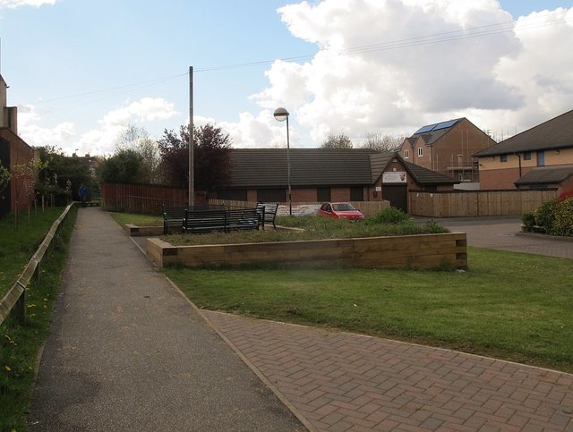
Image: © Stephen Craven Taken: 30 Apr 2016
Old maps show this path running along the east side of the allotments, which are still present Image and coming out on Dewsbury Road opposite Burton Road; it has been realigned in recent redevelopment to come out here about 70m further north opposite Burton Avenue.
Images are licensed for reuse under creativecommons.org/licenses/by-sa/2.0
Image Location
Latitude
53.778431
Longitude
-1.54563