Aire View Terrace, Cononley
Introduction
The photograph on this page of Aire View Terrace, Cononley by Stephen Richards as part of the Geograph project.
The Geograph project started in 2005 with the aim of publishing, organising and preserving representative images for every square kilometre of Great Britain, Ireland and the Isle of Man.

There are currently over 7.5m images from over 14,400 individuals and you can help contribute to the project by visiting https://www.geograph.org.uk
Aire View Terrace, Cononley
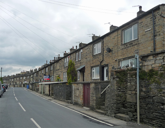
Image: © Stephen Richards Taken: 17 May 2013
Nicknamed "Frying Pan Row" for reasons which were explained to me by someone at Cononley Mine but which are now slightly hazy. I believe these houses were built for workers at the burgeoning lead mine, and they shared a single frying pan (this was pre-minimum wage), the availability of which was indicated by banging on the neighbour's wall.
Images are licensed for reuse under creativecommons.org/licenses/by-sa/2.0
Image Location
Latitude
53.915277
Longitude
-2.013513