Railway west of Beza Road level crossing
Introduction
The photograph on this page of Railway west of Beza Road level crossing by Stephen Craven as part of the Geograph project.
The Geograph project started in 2005 with the aim of publishing, organising and preserving representative images for every square kilometre of Great Britain, Ireland and the Isle of Man.

There are currently over 7.5m images from over 14,400 individuals and you can help contribute to the project by visiting https://www.geograph.org.uk
Railway west of Beza Road level crossing
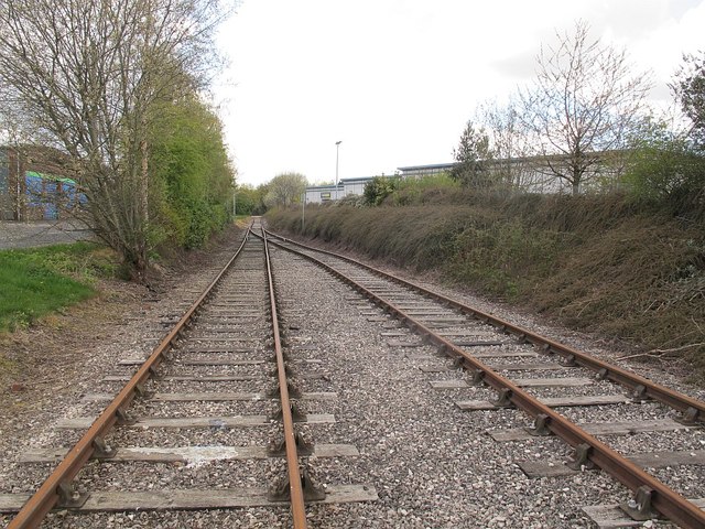
Image: © Stephen Craven Taken: 30 Apr 2016
For the crossing, see Image Given that this is only a rarely-used link to the Middleton Railway (laid in 1885), it is surprising that it is double tracked part of the way.
Images are licensed for reuse under creativecommons.org/licenses/by-sa/2.0
Image Location
Latitude
53.775415
Longitude
-1.532765