Llwybr Cwm Trebeddrod Path
Introduction
The photograph on this page of Llwybr Cwm Trebeddrod Path by Alan Richards as part of the Geograph project.
The Geograph project started in 2005 with the aim of publishing, organising and preserving representative images for every square kilometre of Great Britain, Ireland and the Isle of Man.

There are currently over 7.5m images from over 14,400 individuals and you can help contribute to the project by visiting https://www.geograph.org.uk
Llwybr Cwm Trebeddrod Path
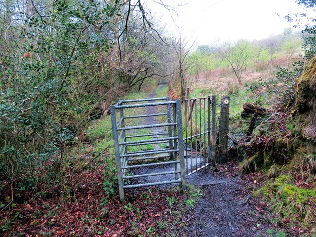
Image: © Alan Richards Taken: 1 May 2016
Gât fochyn ar lwybr chyhoeddus yng Nghwm Trebeddrod. Dilyna Ffordd Sant Illtyd y llwybr hefyd. A kissing gate on a public footpath in Cwm Trebeddrod (trans. homestead of the graves valley). The St Illtyd's Way also follows the footpath.
Images are licensed for reuse under creativecommons.org/licenses/by-sa/2.0
Image Location
Latitude
51.703842
Longitude
-4.166929