Trig Point Aldeburgh Water Tower
Introduction
The photograph on this page of Trig Point Aldeburgh Water Tower by Cud05 as part of the Geograph project.
The Geograph project started in 2005 with the aim of publishing, organising and preserving representative images for every square kilometre of Great Britain, Ireland and the Isle of Man.

There are currently over 7.5m images from over 14,400 individuals and you can help contribute to the project by visiting https://www.geograph.org.uk
Trig Point Aldeburgh Water Tower
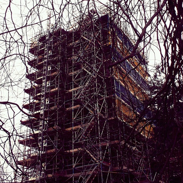
Image: © Cud05 Taken: 24 Mar 2016
Aldeburgh Water Tower, two trig points at this location Secondary Bolt and 3rd order station at towers centre.
Images are licensed for reuse under creativecommons.org/licenses/by-sa/2.0
Image Location
Latitude
52.152502
Longitude
1.595343