Musbury: the Axe valley
Introduction
The photograph on this page of Musbury: the Axe valley by Martin Bodman as part of the Geograph project.
The Geograph project started in 2005 with the aim of publishing, organising and preserving representative images for every square kilometre of Great Britain, Ireland and the Isle of Man.

There are currently over 7.5m images from over 14,400 individuals and you can help contribute to the project by visiting https://www.geograph.org.uk
Musbury: the Axe valley
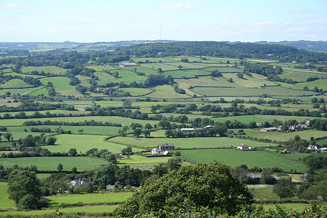
Image: © Martin Bodman Taken: 11 Jul 2007
Towards Shute Hill. On the skyline, just visible, is the Stockland communications mast. On the far side of the valley, in mid distance, is the embankment of the Salisbury-Exeter railway at the start of the gradient where the line climbs up the Umborne valley to Honiton. Seen from a point north of the iron age hillfort, Musbury Castle, accessible by public footpath
Images are licensed for reuse under creativecommons.org/licenses/by-sa/2.0
Image Location
Latitude
50.754576
Longitude
-3.02631