Bickny Near Penparc
Introduction
The photograph on this page of Bickny Near Penparc by Deborah Tilley as part of the Geograph project.
The Geograph project started in 2005 with the aim of publishing, organising and preserving representative images for every square kilometre of Great Britain, Ireland and the Isle of Man.

There are currently over 7.5m images from over 14,400 individuals and you can help contribute to the project by visiting https://www.geograph.org.uk
Bickny Near Penparc
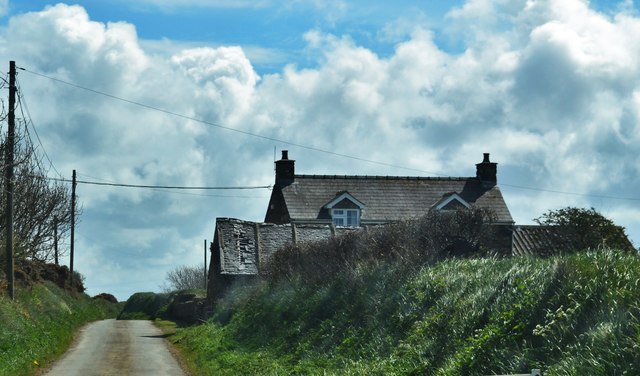
Image: © Deborah Tilley Taken: 30 Apr 2016
Situated on a narrow country lane. Name info (Ref Archive.org) ..... The Beacon is marked on the Ordnance Map (scale 1 in. to the mile, Old Survey, Sheet 40 N.W.), at a point 1 mile east of Llanrhian. It is also shown on the Ordnance Map (scale 6 ins. to the mile, Pembrokeshire, Sheet 15 N.W.) on the division between two fields, as described by Fenton, immediately south of the road from Llanrhian to Mathry. The word "Beacon" does not appear on the 6-in. Ordnance Map, but the name seems to survive in Bickny, a house close to the tumulus to the westward. It is on high ground, being 300 ft. above the sea, although only a mile from the coast.
Images are licensed for reuse under creativecommons.org/licenses/by-sa/2.0
Image Location
Latitude
51.93958
Longitude
-5.158241