Sherington Bridge
Introduction
The photograph on this page of Sherington Bridge by Dan Friess as part of the Geograph project.
The Geograph project started in 2005 with the aim of publishing, organising and preserving representative images for every square kilometre of Great Britain, Ireland and the Isle of Man.

There are currently over 7.5m images from over 14,400 individuals and you can help contribute to the project by visiting https://www.geograph.org.uk
Sherington Bridge
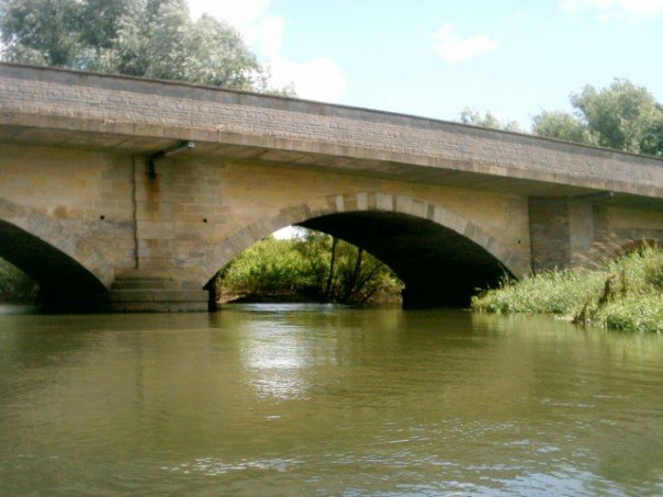
Image: © Dan Friess Taken: 7 Jul 2007
The location has been a river crossing since the 13th century (including a toll bridge in the 18th-19th centuries), though the current bridge dates from the 1970s.
Images are licensed for reuse under creativecommons.org/licenses/by-sa/2.0
Image Location


Leaflet Map data © OpenStreetMap
Latitude
52.098166
Longitude
-0.709898