The Ouse Between Sherington and Tyringham
Introduction
The photograph on this page of The Ouse Between Sherington and Tyringham by Dan Friess as part of the Geograph project.
The Geograph project started in 2005 with the aim of publishing, organising and preserving representative images for every square kilometre of Great Britain, Ireland and the Isle of Man.

There are currently over 7.5m images from over 14,400 individuals and you can help contribute to the project by visiting https://www.geograph.org.uk
The Ouse Between Sherington and Tyringham
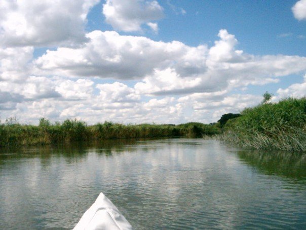
Image: © Dan Friess Taken: 7 Jul 2007
This stretch of the river widens significantly, with low banks covered by reed beds.
Images are licensed for reuse under creativecommons.org/licenses/by-sa/2.0
Image Location
Latitude
52.110331
Longitude
-0.728969