Hartington Grove infill
Introduction
The photograph on this page of Hartington Grove infill by John Sutton as part of the Geograph project.
The Geograph project started in 2005 with the aim of publishing, organising and preserving representative images for every square kilometre of Great Britain, Ireland and the Isle of Man.

There are currently over 7.5m images from over 14,400 individuals and you can help contribute to the project by visiting https://www.geograph.org.uk
Hartington Grove infill
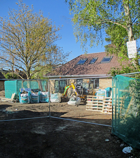
Image: © John Sutton Taken: 30 Apr 2016
A house is being built on garden land off the lane between Hartington Grove and Blinco Grove (see Image] for a view along the twitchel).
Images are licensed for reuse under creativecommons.org/licenses/by-sa/2.0
Image Location


Leaflet Map data © OpenStreetMap
Latitude
52.186644
Longitude
0.142587