New flats, Broad Green, Croydon
Introduction
The photograph on this page of New flats, Broad Green, Croydon by Christopher Hilton as part of the Geograph project.
The Geograph project started in 2005 with the aim of publishing, organising and preserving representative images for every square kilometre of Great Britain, Ireland and the Isle of Man.

There are currently over 7.5m images from over 14,400 individuals and you can help contribute to the project by visiting https://www.geograph.org.uk
New flats, Broad Green, Croydon
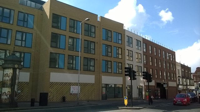
Image: © Christopher Hilton Taken: 27 Apr 2016
Broad Green needs regeneration - one of Croydon's more deprived areas, it was the centre of riots in 2011 - but sadly this new block, built on the site of a derelict pub and a car-wash, has meant the end for one of Croydon's best ghost-signs, seen at Image
Images are licensed for reuse under creativecommons.org/licenses/by-sa/2.0
Image Location
Latitude
51.384444
Longitude
-0.109379