Bryn Awelon, Tonna
Introduction
The photograph on this page of Bryn Awelon, Tonna by Jaggery as part of the Geograph project.
The Geograph project started in 2005 with the aim of publishing, organising and preserving representative images for every square kilometre of Great Britain, Ireland and the Isle of Man.

There are currently over 7.5m images from over 14,400 individuals and you can help contribute to the project by visiting https://www.geograph.org.uk
Bryn Awelon, Tonna
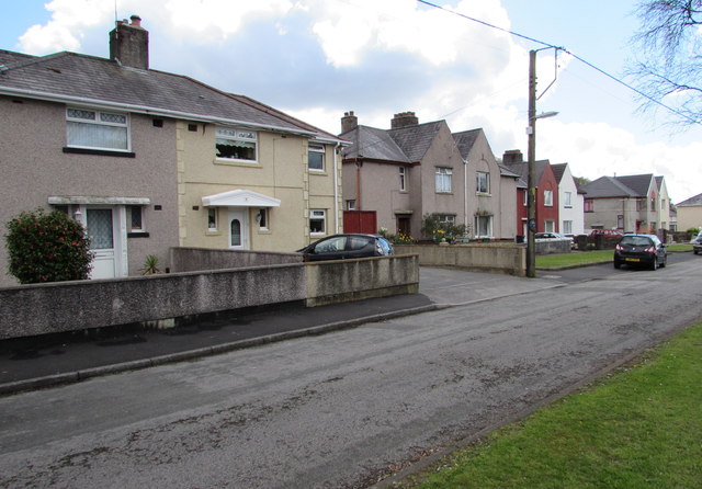
Image: © Jaggery Taken: 29 Apr 2016
Bryn Awelon extends for 170 metres parallel with the south side of the B4434 Tonna Uchaf, between Heol-y-gol to the east and Heol-y-graig to the west.
Images are licensed for reuse under creativecommons.org/licenses/by-sa/2.0
Image Location
Latitude
51.678636
Longitude
-3.765776