Green lane near Milton Damerel
Introduction
The photograph on this page of Green lane near Milton Damerel by Derek Harper as part of the Geograph project.
The Geograph project started in 2005 with the aim of publishing, organising and preserving representative images for every square kilometre of Great Britain, Ireland and the Isle of Man.

There are currently over 7.5m images from over 14,400 individuals and you can help contribute to the project by visiting https://www.geograph.org.uk
Green lane near Milton Damerel
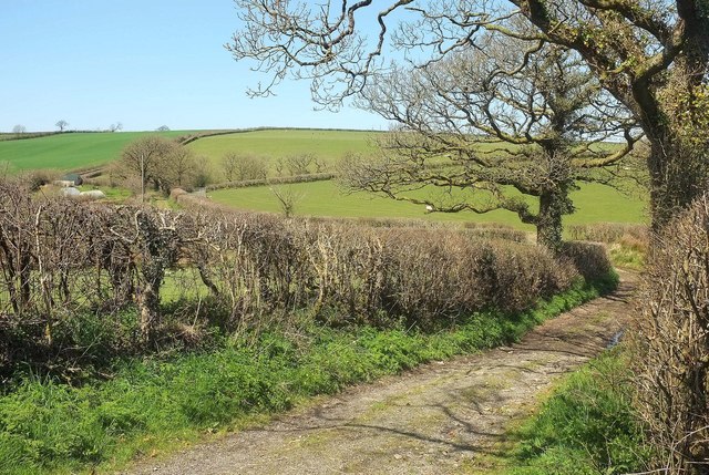
Image: © Derek Harper Taken: 23 Apr 2016
From the lane between Milton Damerel and Milton Mill. The route with public access leads across a tributary of the Waldon and past the farm at North Town (left).
Images are licensed for reuse under creativecommons.org/licenses/by-sa/2.0
Image Location
Latitude
50.870284
Longitude
-4.306549