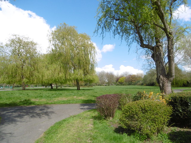
The entrance to Pinner Village Gardens
Introduction
The photograph on this page of The entrance to Pinner Village Gardens by Marathon as part of the Geograph project.
The Geograph project started in 2005 with the aim of publishing, organising and preserving representative images for every square kilometre of Great Britain, Ireland and the Isle of Man.
There are currently over 7.5m images from over 14,400 individuals and you can help contribute to the project by visiting https://www.geograph.org.uk

Image: © Marathon Taken: 27 Apr 2016
Pinner Village Gardens were laid out at the same time as the development of the 1920s suburb. The park incorporates some notable earlier oak trees. The traces of ridge and furrow can be seen in the south part of the park and is a reminder of the previous use of the land for farming from medieval times. This is the nearest surviving to central London. The view is from the park entrance on Whittington Way. There is a Friends of Pinner Village Gardens who have a Facebook page - see https://www.facebook.com/friendsofpinnervillagegardens/

