Field near Berry Farm
Introduction
The photograph on this page of Field near Berry Farm by Derek Harper as part of the Geograph project.
The Geograph project started in 2005 with the aim of publishing, organising and preserving representative images for every square kilometre of Great Britain, Ireland and the Isle of Man.

There are currently over 7.5m images from over 14,400 individuals and you can help contribute to the project by visiting https://www.geograph.org.uk
Field near Berry Farm
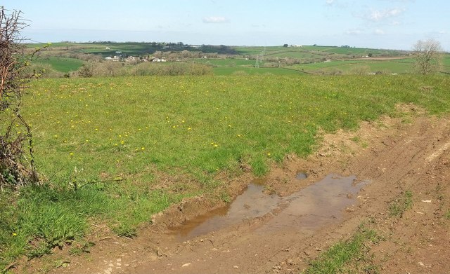
Image: © Derek Harper Taken: 23 Apr 2016
Looking to the left from the same spot as Image], with some overlap. the hamlet across the Waldon valley is Gratton.
Images are licensed for reuse under creativecommons.org/licenses/by-sa/2.0
Image Location
Latitude
50.859754
Longitude
-4.29324