Towards West Wonford
Introduction
The photograph on this page of Towards West Wonford by Derek Harper as part of the Geograph project.
The Geograph project started in 2005 with the aim of publishing, organising and preserving representative images for every square kilometre of Great Britain, Ireland and the Isle of Man.

There are currently over 7.5m images from over 14,400 individuals and you can help contribute to the project by visiting https://www.geograph.org.uk
Towards West Wonford
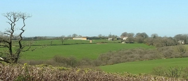
Image: © Derek Harper Taken: 23 Apr 2016
From the same spot as Image] and Image], looking left over a larger wooded tributary valley of the Waldon. The farming hamlet at West Wonford straddles a grid line; some of the central buildings are in Image
Images are licensed for reuse under creativecommons.org/licenses/by-sa/2.0
Image Location


Leaflet Map data © OpenStreetMap
Latitude
50.861972
Longitude
-4.317508