Peak Scar Top view 2
Introduction
The photograph on this page of Peak Scar Top view 2 by Gordon Hatton as part of the Geograph project.
The Geograph project started in 2005 with the aim of publishing, organising and preserving representative images for every square kilometre of Great Britain, Ireland and the Isle of Man.

There are currently over 7.5m images from over 14,400 individuals and you can help contribute to the project by visiting https://www.geograph.org.uk
Peak Scar Top view 2
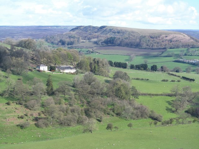
Image: © Gordon Hatton Taken: 28 Apr 2016
The view here is across Gowerdale towards Daleside farm [white house centre left], with Hawnby Hill in the distance. Hawnby Hill is a very satisfying little hill to climb, with all round views, a narrow ridge top and even some small limestone outcrops.
Images are licensed for reuse under creativecommons.org/licenses/by-sa/2.0
Image Location
Latitude
54.2906
Longitude
-1.180681