River Ebbw, Aberbeeg
Introduction
The photograph on this page of River Ebbw, Aberbeeg by M J Roscoe as part of the Geograph project.
The Geograph project started in 2005 with the aim of publishing, organising and preserving representative images for every square kilometre of Great Britain, Ireland and the Isle of Man.

There are currently over 7.5m images from over 14,400 individuals and you can help contribute to the project by visiting https://www.geograph.org.uk
River Ebbw, Aberbeeg
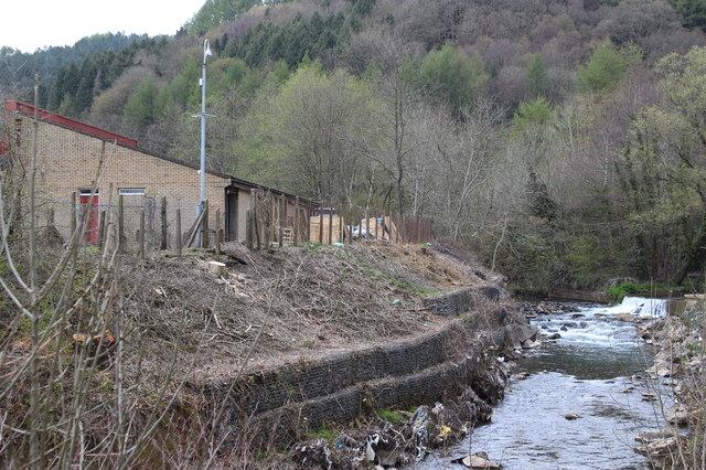
Image: © M J Roscoe Taken: 28 Apr 2016
The trees on the river bank have been clear felled to facilitate repair of the gabions at the water's edge; a cycleway bridge may be built here. To the right, looking upstream the Ebbw Fach River flows over a weir into the main river.
Images are licensed for reuse under creativecommons.org/licenses/by-sa/2.0
Image Location
Latitude
51.709524
Longitude
-3.145477