A34 south of Alderley Edge
Introduction
The photograph on this page of A34 south of Alderley Edge by Stephen Craven as part of the Geograph project.
The Geograph project started in 2005 with the aim of publishing, organising and preserving representative images for every square kilometre of Great Britain, Ireland and the Isle of Man.

There are currently over 7.5m images from over 14,400 individuals and you can help contribute to the project by visiting https://www.geograph.org.uk
A34 south of Alderley Edge
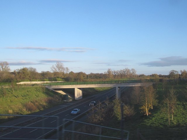
Image: © Stephen Craven Taken: 17 Apr 2016
A fairly new section of single carriageway trunk road, bypassing Alderley Edge. Seen from the railway line. For a view in the opposite direction from the road bridge in this photo, see Image
Images are licensed for reuse under creativecommons.org/licenses/by-sa/2.0
Image Location
Latitude
53.28458
Longitude
-2.249097