Public footpath between Lakeside Allotments & Emma's Dike, Witney, Oxon
Introduction
The photograph on this page of Public footpath between Lakeside Allotments & Emma's Dike, Witney, Oxon by P L Chadwick as part of the Geograph project.
The Geograph project started in 2005 with the aim of publishing, organising and preserving representative images for every square kilometre of Great Britain, Ireland and the Isle of Man.

There are currently over 7.5m images from over 14,400 individuals and you can help contribute to the project by visiting https://www.geograph.org.uk
Public footpath between Lakeside Allotments & Emma's Dike, Witney, Oxon
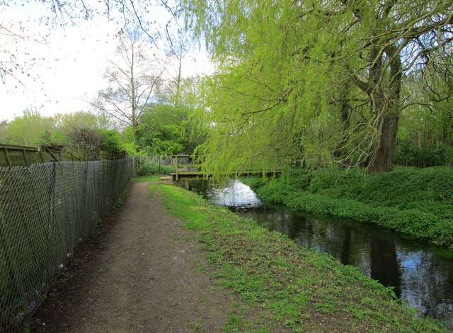
Image: © P L Chadwick Taken: 23 Apr 2016
The allotments are behind the fence on the left. The footpath turns right to cross the stream by the footbridge visible in the distance. It then joins the footpath around Witney Lake, a former gravel pit. Image
Images are licensed for reuse under creativecommons.org/licenses/by-sa/2.0
Image Location


Leaflet Map data © OpenStreetMap
Latitude
51.774321
Longitude
-1.486887