Headon Cross
Introduction
The photograph on this page of Headon Cross by Derek Harper as part of the Geograph project.
The Geograph project started in 2005 with the aim of publishing, organising and preserving representative images for every square kilometre of Great Britain, Ireland and the Isle of Man.

There are currently over 7.5m images from over 14,400 individuals and you can help contribute to the project by visiting https://www.geograph.org.uk
Headon Cross
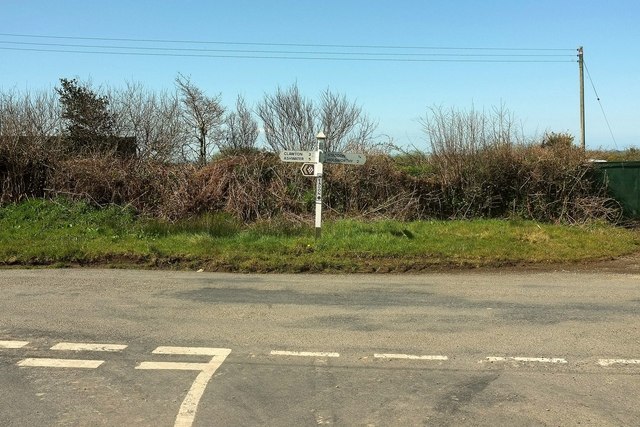
Image: © Derek Harper Taken: 23 Apr 2016
The lane from Hollacombe meets a road from Claw Bridge to Staddon at this T junction. Left for Clawton 3 and Ashwater 5 - and some grapes, unlikely as it may seem. Right for Staddon ¾ and Holsworthy 2.
Images are licensed for reuse under creativecommons.org/licenses/by-sa/2.0
Image Location


Leaflet Map data © OpenStreetMap
Latitude
50.797004
Longitude
-4.319116