The Mews, Dillington House
Introduction
The photograph on this page of The Mews, Dillington House by Derek Harper as part of the Geograph project.
The Geograph project started in 2005 with the aim of publishing, organising and preserving representative images for every square kilometre of Great Britain, Ireland and the Isle of Man.

There are currently over 7.5m images from over 14,400 individuals and you can help contribute to the project by visiting https://www.geograph.org.uk
The Mews, Dillington House
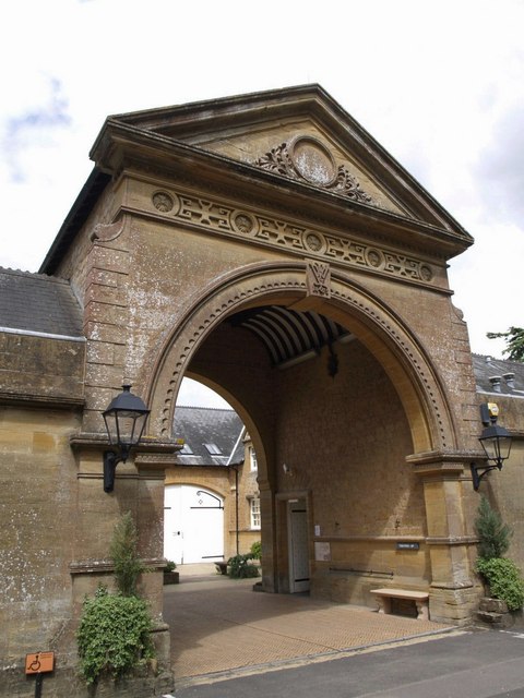
Image: © Derek Harper Taken: 10 Jul 2007
The former stable block at Image dates from a later era. See http://webapp1.somerset.gov.uk/her/details.asp?prn=56602
Images are licensed for reuse under creativecommons.org/licenses/by-sa/2.0
Image Location
Latitude
50.936355
Longitude
-2.902221