Wartime building at Ynyslas
Introduction
The photograph on this page of Wartime building at Ynyslas by John Lucas as part of the Geograph project.
The Geograph project started in 2005 with the aim of publishing, organising and preserving representative images for every square kilometre of Great Britain, Ireland and the Isle of Man.

There are currently over 7.5m images from over 14,400 individuals and you can help contribute to the project by visiting https://www.geograph.org.uk
Wartime building at Ynyslas
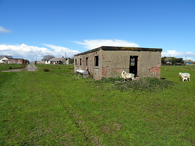
Image: © John Lucas Taken: 26 Apr 2016
There was a significant military presence in this area during WWII to protect the vulnerable coast. The building is one of several that remain from that time, now used as a sheep shelter. A public path runs beside it.
Images are licensed for reuse under creativecommons.org/licenses/by-sa/2.0
Image Location
Latitude
52.517436
Longitude
-4.051553