Warning sign - humps to the right and left, Loughor
Introduction
The photograph on this page of Warning sign - humps to the right and left, Loughor by Jaggery as part of the Geograph project.
The Geograph project started in 2005 with the aim of publishing, organising and preserving representative images for every square kilometre of Great Britain, Ireland and the Isle of Man.

There are currently over 7.5m images from over 14,400 individuals and you can help contribute to the project by visiting https://www.geograph.org.uk
Warning sign - humps to the right and left, Loughor
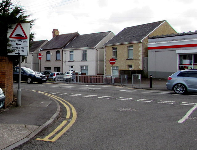
Image: © Jaggery Taken: 25 Mar 2016
Showing (speed) hump to the left 120 yds and humps to the right for 350 yds, the sign faces The Croft at the A4240 Castle Street junction.
Images are licensed for reuse under creativecommons.org/licenses/by-sa/2.0
Image Location
Latitude
51.66347
Longitude
-4.072023