'The Moorings'
Introduction
The photograph on this page of 'The Moorings' by Trevor Littlewood as part of the Geograph project.
The Geograph project started in 2005 with the aim of publishing, organising and preserving representative images for every square kilometre of Great Britain, Ireland and the Isle of Man.

There are currently over 7.5m images from over 14,400 individuals and you can help contribute to the project by visiting https://www.geograph.org.uk
'The Moorings'
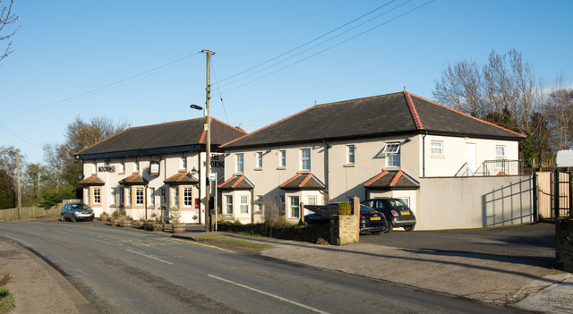
Image: © Trevor Littlewood Taken: 25 Apr 2016
The Moorings is a pub and restaurant on the south side of the B6313 west of the County Durham town of Chester-Le-Street.
Images are licensed for reuse under creativecommons.org/licenses/by-sa/2.0
Image Location
Latitude
54.856551
Longitude
-1.627062