Field and edge of village, Steeple Claydon 2
Introduction
The photograph on this page of Field and edge of village, Steeple Claydon 2 by Andy Gryce as part of the Geograph project.
The Geograph project started in 2005 with the aim of publishing, organising and preserving representative images for every square kilometre of Great Britain, Ireland and the Isle of Man.

There are currently over 7.5m images from over 14,400 individuals and you can help contribute to the project by visiting https://www.geograph.org.uk
Field and edge of village, Steeple Claydon 2
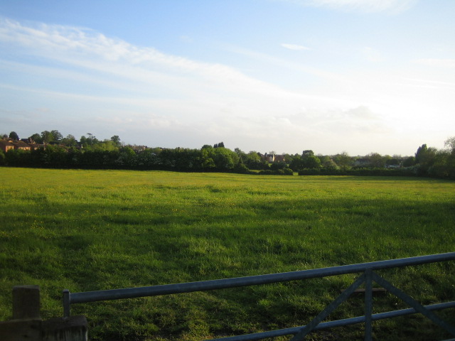
Image: © Andy Gryce Taken: 12 May 2007
This view to the south-west from the lane that runs round the north of Steeple Claydon shows in the centre, part of the northern edge of Steeple Claydon across a field. On the right, amidst trees, are the houses of North End on the western side of the village, see also Image
Images are licensed for reuse under creativecommons.org/licenses/by-sa/2.0
Image Location
Latitude
51.940522
Longitude
-0.982245