The White Hart, Calne
Introduction
The photograph on this page of The White Hart, Calne by David Howard as part of the Geograph project.
The Geograph project started in 2005 with the aim of publishing, organising and preserving representative images for every square kilometre of Great Britain, Ireland and the Isle of Man.

There are currently over 7.5m images from over 14,400 individuals and you can help contribute to the project by visiting https://www.geograph.org.uk
The White Hart, Calne
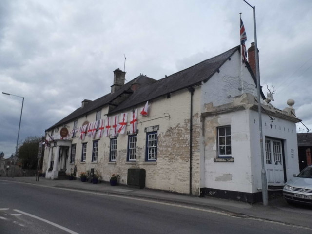
Image: © David Howard Taken: 24 Apr 2016
One of the first buildings in the ST myriad (100 km map grid square) from the east.
Images are licensed for reuse under creativecommons.org/licenses/by-sa/2.0
Image Location
Latitude
51.435029
Longitude
-2.002541