New Pitsligo and St John's Primary School
Introduction
The photograph on this page of New Pitsligo and St John's Primary School by Bill Harrison as part of the Geograph project.
The Geograph project started in 2005 with the aim of publishing, organising and preserving representative images for every square kilometre of Great Britain, Ireland and the Isle of Man.

There are currently over 7.5m images from over 14,400 individuals and you can help contribute to the project by visiting https://www.geograph.org.uk
New Pitsligo and St John's Primary School
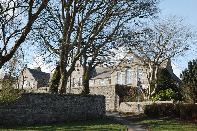
Image: © Bill Harrison Taken: 19 Apr 2016
The 'St John' in the name indicates that the village school absorbed the former Episcopal primary school, located a couple of hundred metres away on the High Street.
Images are licensed for reuse under creativecommons.org/licenses/by-sa/2.0
Image Location
Latitude
57.590637
Longitude
-2.197698