Looking into Stirlingshire
Introduction
The photograph on this page of Looking into Stirlingshire by Richard Webb as part of the Geograph project.
The Geograph project started in 2005 with the aim of publishing, organising and preserving representative images for every square kilometre of Great Britain, Ireland and the Isle of Man.

There are currently over 7.5m images from over 14,400 individuals and you can help contribute to the project by visiting https://www.geograph.org.uk
Looking into Stirlingshire
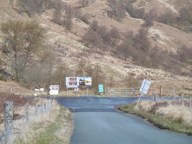
Image: © Richard Webb Taken: 24 Apr 2016
Assorted signs at the end of the B829. An unusual occurrence of looking north from Perthshire into Stirlingshire (all governed by Stirling Council now).
Images are licensed for reuse under creativecommons.org/licenses/by-sa/2.0
Image Location
Latitude
56.253829
Longitude
-4.590039